

The planning of new rail networks is an opportunity for authorities in the region to influence land use development and change the behaviour of the population
When plans for the Dubai Metro first began to be developed almost a decade ago, there was scepticism from locals and expatriates alike. The overwhelming view was that the region was wedded to its cars and only a few of the less affluent members of society would use a light-rail system. Today the critics have been silenced.
Advertisements for shops and businesses state the closest metro station; new residents are selecting accommodation in areas near the rail link; and businesses have moved to premises that have better access to stations. Retail outlets in Dubai Mall have reported booming sales in the few weeks since a footbridge connecting the shopping centre to the Burj Khalifa station opened in December. On New Year’s Eve, 587,542 passengers used the metro network, setting a new record.
Rail planning
“Cities in the Middle East are new and growing, so they clearly need to route rail corridors to where they can generate demand, and in between significant demand generators,” says Stefan Sanders, railway planning director for the UK, the Middle East and Africa at London-based consultant Arup. “To a large degree in a new and evolving city, where you have the rail corridor, the development will follow.”
This may require a change in philosophy for planners and engineers, as the traditional approach to planning transport investment, particularly in the West, has been forecasting land use for population growth of 5 or 10 per cent in 20 years. Cities such as Dubai, Abu Dhabi and Doha have seen populations double in that time.
To a large degree in a new city, where you have the rail corridor, the development will follow
Stefan Sanders, Arup
Authorities have also viewed transport plans as an opportunity to reduce congestion rather than change the dynamics of a city. By working together, urban planning authorities and transport departments can use infrastructure such as new rail lines to shape decades of growth. “The priority of the metro was to unlock major congestion issues in existing areas. The secondary objective was to improve connectivity to areas for future development,” says Neil Walmsley, the Dubai-based Middle East rail leader and associate director at Arup.
“By making brave commitments to deliver the next wave of public transport investments, the authorities have the potential to take the initiative in guiding developers to build where cities can cope with it, even if those [projects] are not opened until 2025.”
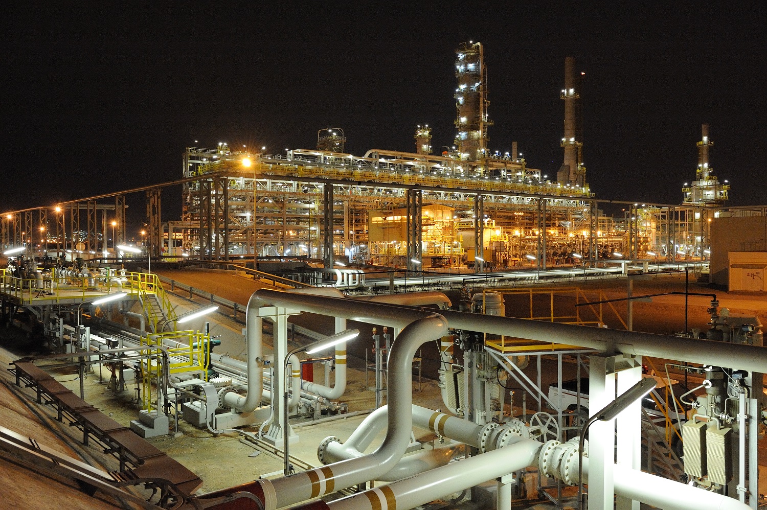
This is also crucial for logistics sector, where the new rail lines will naturally create a corridor that must connect into industry.
“Saudi Arabia has been very good at that; most of its industry is located close to the existing rail network or not too far away. Therefore it becomes quite easy to make those connections,” says Sanders.
Some of the proposed freight corridors on the GCC network will intrude into cities, which is another challenge for planners. “You do need to think up-front, as you plan your cities, what corridors you are going to keep for freight. Particularly for inland cities, will you need container hubs or dry ports? Will you have other distribution depots? How is the freight corridor going to fit?”
Using software
To plan and model potential new rail lines, a raft of software packages is available. They work from land use and population profiles to create ridership forecasts and to model passenger behaviours. Companies such as Germany’s PTV Group, US-based Citilabs and Canada’s Inro all make transport-forecasting software packages.
Experts say that regional authorities have invested in these multimillion-dollar, state-of-the-art tools to create integrated multi-modal transport plans. “A model is a sophisticated tool and creates an estimate of the travel behaviour of the population, which you would then cross-check against observed behaviour in the city itself. This will tell you whether the model is giving you suitable results for predicting the basis of future behaviour,” says Walmsley.
The design of a new railway should be such that core equipment is able to support … future requirements
Neil Walmsley, Arup
Most of the software tools work by classifying the city into a series of parcels of land that have specific characteristics in terms of their usage. This could include residential use, employment areas, educational facilities, retail and more. They also classify the population into different categories based on income type, employment type, whether they are locals, expatriates or tourists, and whether they have cars or not.
The model then attributes to each of the population groups a cost-based probability of choosing different transport options. For example, an expatriate professional travelling from home to work may have the choice between metro or car.
The forecast cost is a combination of the time it would take and financial costs, such as fuel and rail tickets, incurred through each mode. The model then works iteratively through a range of scenarios to find a likely balance of transport use.
“In a congested network, everyone is wasting their time sitting in traffic, so therefore if you run the model again some people would decide intuitively that they are not going to do that again tomorrow and they decide to try the transit option because it gives a more efficient outcome,” says Walmsley. “On the next iteration, some of the people on public transport choose to go back on the car, and so on until you come to a balance.”
Detailed design
Once the corridors are defined, the planners can move on to consider the engineering design of the project with more detailed models used to understand issues, such as measuring passenger movement on and off the trains at stations. This in turn helps the designers understand variables such as how big the station areas need to be, what depth the platforms need to be, how many ticket barriers will be required to get passengers through, how wide footbridges should be, car park capacity and more. “Once you have done all that, it is good practice to review your forecast against actual observed data,” says Walmsley. This allows the planners to improve the model for future use and assess the quality of the earlier assessments and decisions.
Future use of the system is another key consideration for authorities, who must plan not only for today but also for the decades ahead. “The design of a new railway or metro should be such that core equipment is able to support current and future requirements without major modifications to the system, to maximise the return on investment,” says Ade Ogunsola, rail systems lead for US consultant Parsons. “The design should also be flexible enough to support expansion without major redesign.” This means ensuring spare infrastructure capacity such as cable and power load capacity, and space within stations and along the railway lines, as well as ensuring that software licence upgrades are possible to serve the final railway configuration.
Ogunsola suggests considering modularity, scalability, open protocols, over-subscription of performance, and future capacity requirements for installed equipment. Planners should give thought to the maturity of the technology at component and equipment level to ensure spare parts and maintenance support throughout the intended life-cycle of the railway.
Railway authorities around the world have taken a range of approaches to future proofing. In San Francisco, for example, many stations are built to take 10 or 12 carriage trains in the future; today they only require five or six.
In Dubai, the stations are built to take five-car trains, but schedulers can add more carriages and increase the frequency during busy periods. “A sensible design target is three to five minutes between trains, which gives you flexibility to go to higher frequency in the future,” says Walmsley.
Trains can be run at a frequency of 90 seconds so a system designed for five-minute intervals has the potential to triple capacity during high demand periods.
Future proofing also means ensuring that as new lines, new capacities and new elements are added, they are all integrated to ensure users are not deterred from using the network by poor connections.
Planners say some South East Asian cities such as Bangkok and Kuala Lumpur have fallen victim to a lack of integration, and elevated light-rail lines are not integrated with the underground network, leaving passengers to navigate long walks between stations at ground level. “Even if you haven’t yet built the second line, you have to think about how it will integrate with the first one,” says Sanders. “Cities need a very clear masterplan.”
Sustainable plans
The good news for the Middle East is that by masterplanning integrated transport networks, the authorities are opening the doors to a range of opportunities, from influencing how as-yet undeveloped areas will evolve to capturing new arrivals and encouraging them to adopt a transit-based lifestyle.
New metros in most of the Middle East’s major cities, the GCC railway and a raft of other light and heavy rail systems are set to double installed capacity in the region to 67,000 kilometres over the next decade.
The challenge for the authorities will be to harness all of the possible advantages of the growing connectivity to ensure that Middle East cities grow in the most effective and sustainable way.
Key fact
About 587,542 passengers used Dubai metro on New Year’s Eve, a record for the emirate
Source: RTA
You might also like...

Red Sea Global awards Marina hotel infrastructure
18 April 2024
Aramco allows more time to revise MGS package bids
18 April 2024
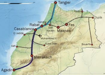
Morocco tenders high-speed rail project
18 April 2024


A MEED Subscription...
Subscribe or upgrade your current MEED.com package to support your strategic planning with the MENA region’s best source of business information. Proceed to our online shop below to find out more about the features in each package.