

The telecommunications industry has embraced the use of drones beyond site survey data collection, and is using them to inspect and monitor infrastructure
Communications tower inspections typically require the site to be shut down and the tower climbed by an expert rigging team. If the tower is non-climbable, an elevated work platform must be used to allow close-up inspection of the antennas and equipment. Capturing imagery and other information with drones enables significant cost savings, eliminates the safety risks of tower climbs, and reduces the time required to assess tower conditions.
Italian drone company Seikey is using an innovative method for inspecting 11,800 radio base stations (RBS) in Italy for risk prevention, compliance, and the maintenance and development of the 3, 4, 4.5 and 5G networks. Inspections are carried out through high-definition photography, light detection and ranging (LiDAR) sensors, thermographic cameras and spectrum analysers. During an inspection, it is possible to view the data that the drone is acquiring in real-time through project management platform ProjectWise.

Using Bentley software programmes ContextCapture, MicroStation and Bentley Map, data is collected, processed and managed in ProjectWise. A detailed photogrammetric reconstruction takes around 1,700, 40 megapixel photos, up to 30GB of photos for each RBS, and more than 400TB of data for all the RBSs.
Through Bentley Navigator, 3D visualisation provides a comprehensive and realistic view of situations requiring intervention. The management of flight schedules, the collection and preparation of necessary permits, and the management of collected and processed data posed significant challenges. The inspection method led to a reduction in the risk to human life and a reduction in inspection times. While it previously took five days to perform an RBS inspection, it can now be done in six hours.
On the Telstra telecommunications tower in Brisbane, Australia, local cell tower analysis company SiteSee used ContextCapture to create reality meshes for as-built auditing and analysis of the tower. In doing this, it reported a reduction in asset inspection and maintenance costs of 69 per cent, along with a reduction in project delivery lead time of 86 per cent.
Corrosion detection
ContextCapture enabled SiteSee to export a dense point cloud for further analysis in its web-based application for remote site inspection to support automated corrosion detection and antenna identification with model, height, azimuth and mechanical tilt, as well as preliminary radiation hazard simulation within the 3D-reality mesh scene.
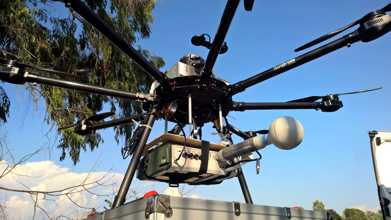
[caption id="attachment_326952" align="aligncenter" width="650"] Inspections are carried out through high-definition photography, light detection and ranging (LiDAR) sensors, thermographic cameras and spectrum analysers carried on the drone. [/caption]
SiteSee also developed a 3D tile viewer that enabled users from field teams, engineering, health and safety, real estate, and asset management to remotely view and analyse assets and run reports. The reality mesh can also be linked to the user’s internal asset management system to align records with the data extracted from the reality mesh, bridging the gap between reality and the database of records.
Laser scanning
In the US, Eye-bot Aerial Solutions produces 3D engineering ready meshes of structures, such as the monopole cell tower in Springdale, Pennsylvania. Modelling vertical structures with UAV photogrammetry is extremely difficult when the structure has complex cross bracing that can be seen through. Eye-bot relies on the unique capability of ContextCapture to use photogrammetry and UAV laser scanning to consistently generate accurate models. The models can be used to check for structural deformities and the surface area of components can be measured for wind and ice load calculations, allowing for well-informed decisions that no longer rely solely on the person climbing the tower.
This article was originally published in MEED Mashreq Construction Report Vol 3: Delivering Innovation in Construction, in April 2018.

This article is extracted from a report produced by MEED and Mashreq titled Delivering Innovation in Construction. Click here to download the report
You might also like...
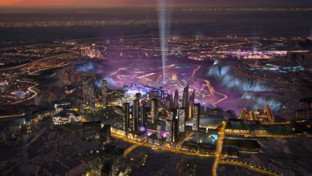
Abu Dhabi makes major construction investments
25 April 2024
Saudi Arabia seeks K9 PPP project interest
25 April 2024
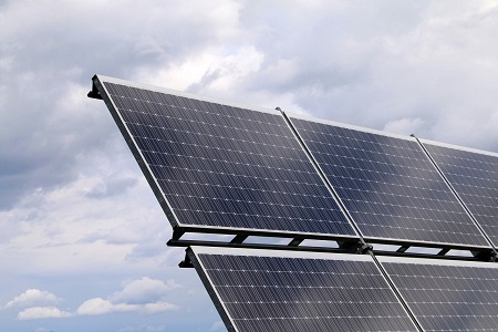
Kuwait reviews 1.1GW solar prequalifications
25 April 2024

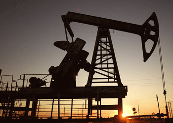
LIVE WEBINAR: Abu Dhabi Oil & Gas 2024
25 April 2024
A MEED Subscription...
Subscribe or upgrade your current MEED.com package to support your strategic planning with the MENA region’s best source of business information. Proceed to our online shop below to find out more about the features in each package.