

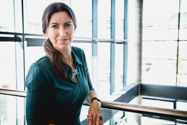
Data-driven insights can help organisations be more environmentally sustainable, says Donna Lyndsay, Ordnance Survey's strategic market lead
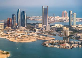
Combatting climate change is a key issue in early December as the UAE hosts Cop28 in Dubai. Geospatial data is one of the tools that can play a leading role in addressing climate change.
The UK’s Ordnance Survey (OS) has provided mapping services for 230 years. Donna Lyndsay, OS’ strategic market lead, explains how data-driven insights can help organisations be more environmentally sustainable.
Can you elaborate on how geospatial data is becoming crucial in tackling climate change globally?
Ordnance Survey supports customers across the globe with data-driven insights to help tackle the global issue of climate change and is a key partner in several projects using geospatial data to monitor changes to the environment. We are seeing location data supporting heat mapping projects, tackling supply chain issues, and enabling sustainable investment in green energy and transport for positive economic, social and environmental outcomes.
I have previously compared the world to a patient in intensive care. You need to monitor them closely and then intervene with the right treatment to improve their condition. With OS location data, you can identify where those pain points are, enabling better decision-making and solutions for positive impact.
How can combining geospatial data, Earth Observation and AI transform how carbon offsetting is monitored and managed?
There are many concerns about validity and accuracy within the voluntary carbon credit market, which is detrimental to those who want to invest carbon credits for nature restoration. So, we need to have trusted monitoring, reporting and verification systems in place to restore faith in the system, allowing us to know what is there now and its real potential in carbon sequestration (or biodiversity restoration for new credit schemes).
These systems must be appropriate, quality assured, objective and transparent. We can achieve this now by combining monitoring capabilities from space (Earth Observation), air and ground data collection. One example is OS VeriEarth®, our new monitoring, reporting and verification service. It is built on OS’s deep expertise in objective data collection, curation and change detection and combines satellite and ground-based data with location intelligence to create and visualise a baseline of a habitat in a target location.
How does innovative technology help instil trust and transparency in the carbon offset market?
Explaining how OS VeriEarth® works here is relevant. The data gathered from new and innovative technology such as EO within this service is used to accurately record different types of vegetation species, provide reporting on vegetation cover linked to greenhouse gas emissions and monitor the water table. As geospatial production processes become more automated, it is vital that ground truth data is utilised as part of the production process to ensure the authority of the data.
OS VeriEarth® is currently being used in the North of England, where we are working with partners to monitor the restoration of the nation’s peatlands, which can store vast quantities of carbon. This baselining and monitoring technique could be rolled out nationwide to increase and validate investment for large-scale peatland restoration projects, from carbon offsetting or carbon credits, as well as helping to protect against greenwashing claims.
Why is accurate monitoring and verification of carbon sequestration essential, and what role does geospatial data play in this process?
It is essential. We are all deeply concerned about the double-counting, and even non-existence in some areas, of carbon credits. While, on the one hand, this undermines those generating genuine carbon credits, it also erodes trust in the voluntary credit market as companies buying that credit can be accused of greenwashing and will be reluctant to invest again.
It is vital to restore faith in the system as quickly as we can – and this is where location is key. We have to know where something is to verify it. So, by using Earth Observation data, as well as trusted and authoritative air and ground geospatial data, we can provide objective evidence of what is happening where to restore that faith in the market.
You mention a surge in demand for verification services using geospatial data in 2024. What is driving this increased demand?
I think it’s simple. Companies are under much greater scrutiny, but also new disclosures and regulations are increasing corporate focus on sustainable practice, emissions, environmental impact and climate risk. Only this week, the Financial Conduct Authority has confirmed a substantial package of measures to improve the trust and transparency of sustainable investment products and minimise greenwashing.
Companies need to prove their commitment to reducing environmental impact in line with the increasing amount of carbon-related regulation and targets for nature. A large audience of interested parties wants to see that commitment and progress – whether they are customers, investors or regulators. Employees within companies want to have trust that their employer is doing the right thing. And the media are always there to provide scrutiny.
So, having access to trusted verification services with high quality and accuracy is more important than ever for companies striving to progress their goals and demonstrate transparency.
How do you foresee geospatial data influencing the financial and investment decisions in the carbon credit and offset markets?
I can’t overstate it enough: location is fundamental in enabling the markets to understand the risks and opportunities for investments on the planet, particularly in carbon and offsetting. Accurate geospatial data provides greater transparency to enable more confident decision-making. Without a real understanding of where things are, we cannot accurately determine if the investment is going in the right direction.
If the offset or location of the credit is known, we can apply various monitoring techniques and technologies, including data from space, air and land (even through acoustics) to demonstrate that the investment is delivering the outcome required by the investor. This ultimately reduces the risk of greenwash accusations, which can be very harmful and lead to reputational and bottom-line impacts for companies and potential devaluation of the credits bought.
As a provider of geospatial services to other countries, how is Ordnance Survey collaborating internationally to enhance global climate action?
Ordnance Survey has a voice at Cop28 and has been a regular participant over the past few years. This year, I will be participating in several panel discussions focusing on sustainability and the challenges of climate change and presenting on the progress that the Supply Chain Data Partnership (SCDP) has made since Cop27.
The SCDP – of which OS is a founder – has partners across the globe and has just reached a major milestone in completing a proof of concept for a global location register. This will enable the monitoring and verification of environmentally and socially sustainable practices at every stage in the supply chain.
Aside from that, we continue to support other nations in developing their own geospatial strategies and databases, which are critical tools in tackling any of these challenges, as well as helping nations to protect their own habitats, such as palm trees and mangroves here in the Middle East.
What are the key challenges in ensuring the accuracy and reliability of geospatial data, and how is Ordnance Survey addressing these?
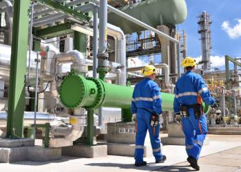
Today, geospatial data is underpinning public services and enabling many commercial products and applications as well as helping to support many of the biggest challenges facing society. With this increase in recognising the value of accurate and trusted location data comes greater demands on specification, detail and currency.
At Ordnance Survey, we have been innovating in new ways of data capture and constantly working with our customers across public and private sectors, delivering data that supports their needs. A recent example includes the data we released a few months ago on significant buildings and transport enhancements. Mapping agencies must work closely with their customers to ensure location remains central to all decision-making.
Could you discuss the specific advancements in AI and technology that are pivotal in enhancing the efficacy of geospatial data in environmental sustainability?
I have a great example of a project we are currently working on that perfectly illustrates the power of AI. OS is a key partner in a United Nations-backed project to develop a water pollution predictive tool. Working with leading global IT and business consulting services firm CGI, under the umbrella of their Sustainability Exploration Environmental Data Science (SEEDS) programme, we have been developing an AI model that aims to predict with high levels of accuracy the conditions most often associated with pollution events.
The initiative has brought together multiple sources of data, including from satellites, sensors and the UK Environment Agency, into a model that maps past incidents to predict future issues. It’s an exciting project and while this is a trial in one area of the country, it has high potential to benefit many more areas.
Looking beyond 2024, what is your vision for the role of geospatial data in global sustainability efforts, particularly in mitigating climate change?
Without understanding where things are on the planet, we can’t understand the risks of climate change and our impact on nature, nor can we understand the opportunities to enable us to live sustainably. Location is key to unlocking an understanding of environmental harms and geopolitical risk and how we can protect infrastructure and citizens.
As a map maker and geographer, I passionately believe geospatial data remains at the heart of solving sustainability challenges worldwide. The world is waking up to the fact that the data it uses to understand risks and investments needs to be trusted and authoritative, so it must come from a known source with clear provenance.
OS is already playing a key role in supporting and, in some cases, founding some of these sustainability initiatives. We are keen to keep pushing forward and innovating to make the greatest impact wherever we can.
You might also like...
TotalEnergies to acquire remaining 50% SapuraOMV stake
26 April 2024
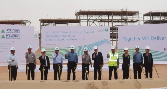
Hyundai E&C breaks ground on Jafurah gas project
26 April 2024

Abu Dhabi signs air taxi deals
26 April 2024
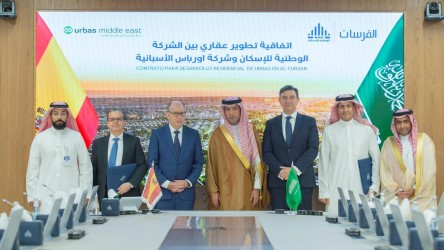
Spanish developer to invest in Saudi housing
26 April 2024
A MEED Subscription...
Subscribe or upgrade your current MEED.com package to support your strategic planning with the MENA region’s best source of business information. Proceed to our online shop below to find out more about the features in each package.